

Part 33 here
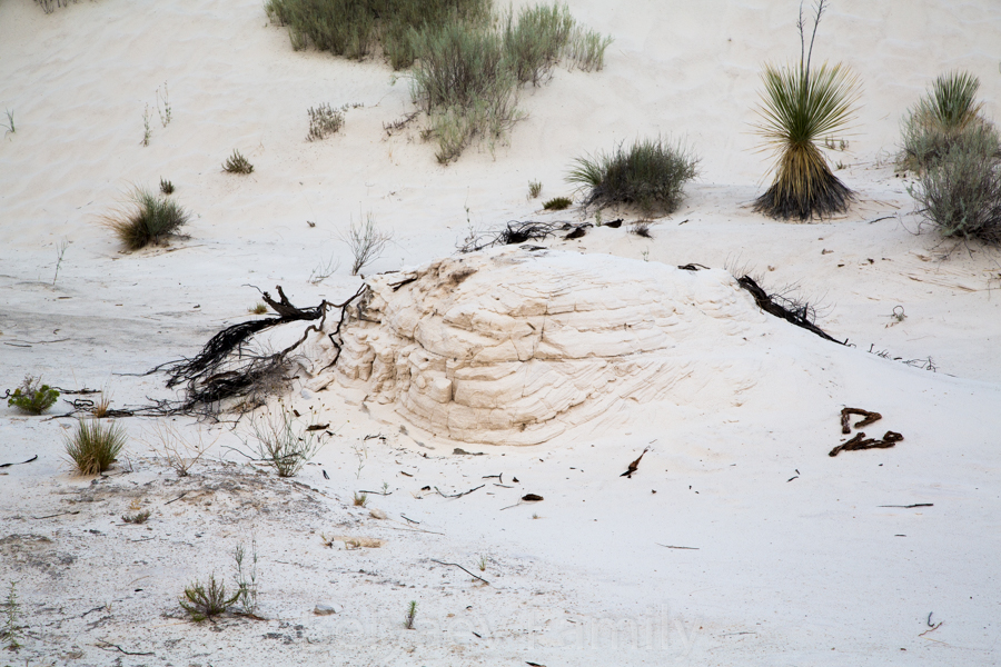
In the morning we were heading to the Missile Range, there is an open-air museum with all types of missiles that had been tested and launched here. We drove by White Sands Dunes and here we learned, that it is not at all a sand, it is gypsum that was formed millions of years ago. At that time a sea was here, and it’s level was constantly changing. When it became lower, the salty minerals that were left behind formed a layer of gypsum. Then sea level increased and hid the gypsum under the water. Than again, the sea retreated and left salty minerals behind, and so on, and so forth. The plates rose and separated, so layers of gypsum became visible again. The summer monsoons and heavy snowfalls are dissolving the gypsum, that stays underground, the ground water level rise and a temporary lake appears not far from here. When it’s gypsum-laden water evaporates, the gypsum stays open to the wind, that breaks it to the small particles and as a result the white sand dunes appeared.
To my surprise it was quite chilly outside. Usually around ten o’clock the air becomes hot, but not this time.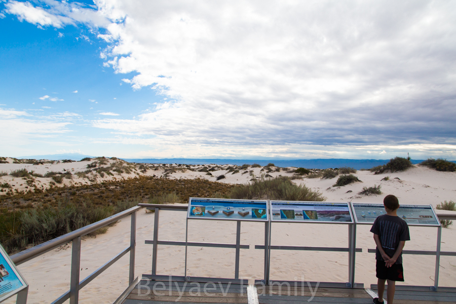
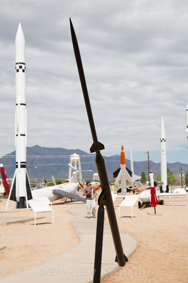
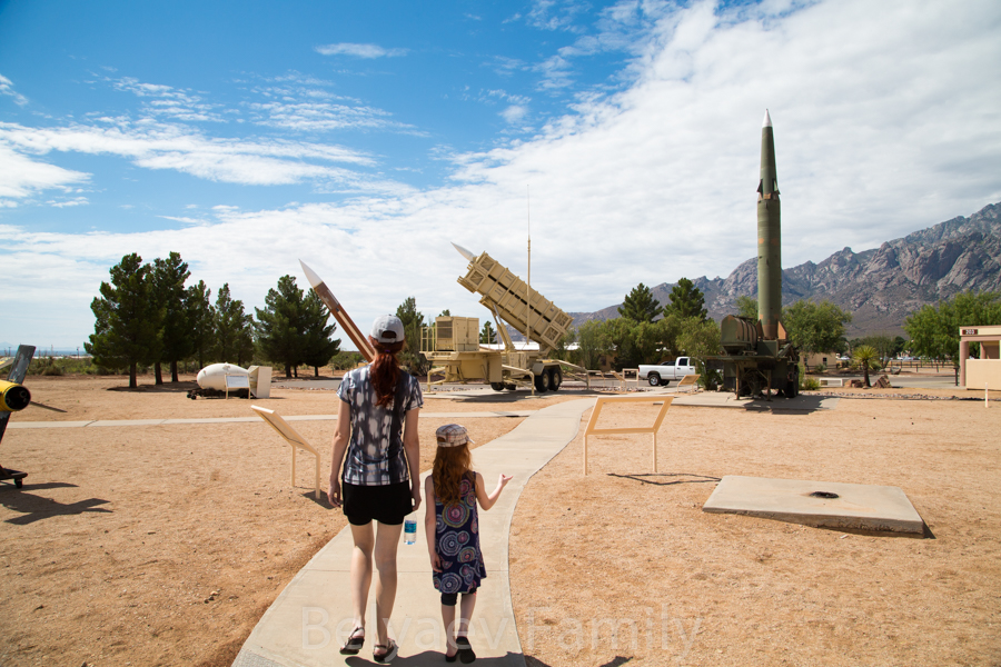
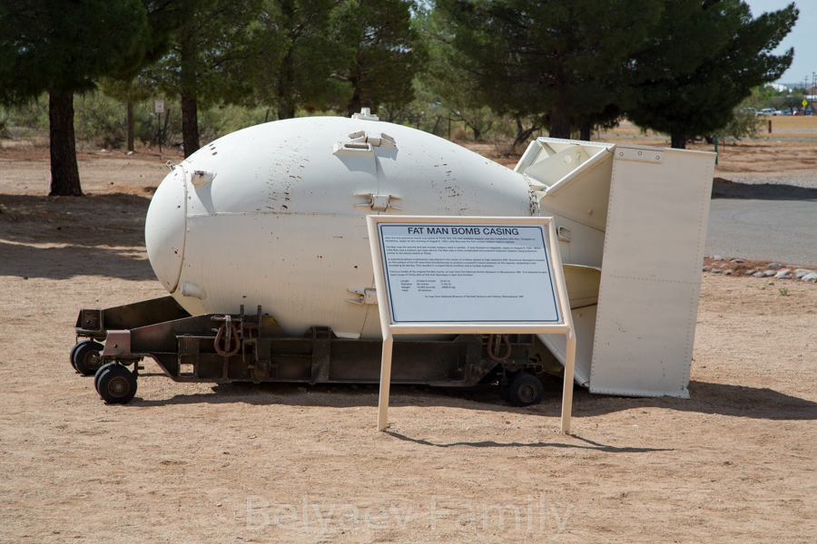
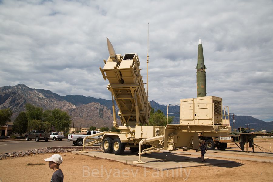
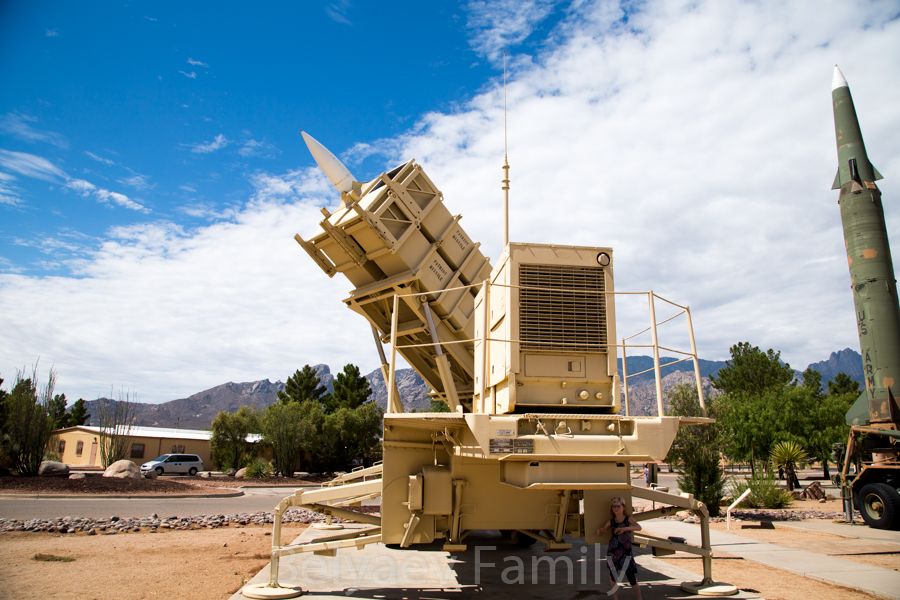
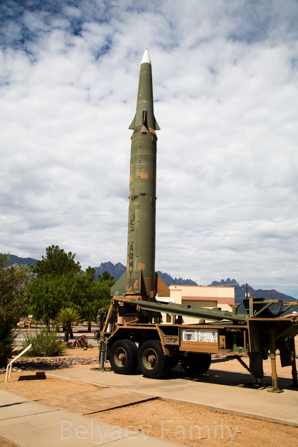
After that we went to the missile museum. At the entrance a background check was performed, because it is an active missile range. While we waited for the results of the check, we learned that today will be a scheduled launch, so the highway will be closed from 11.30 till 1 pm. Soon we were allowed to enter the base and went to the museum. Just before that we were told that we can make as much photos as we want, but all of them need to be done in the certain direction only.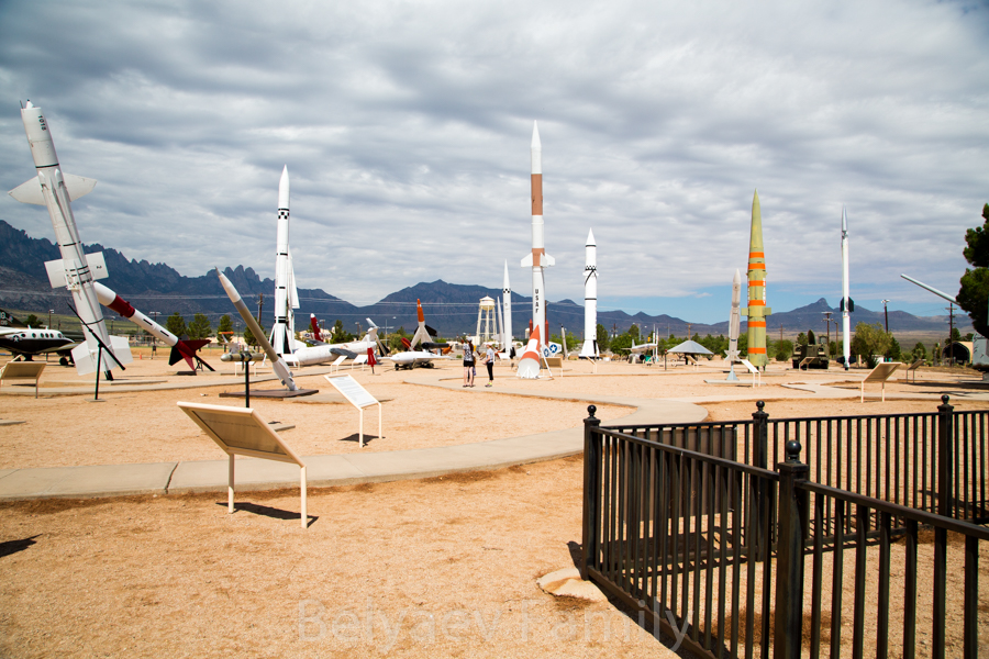
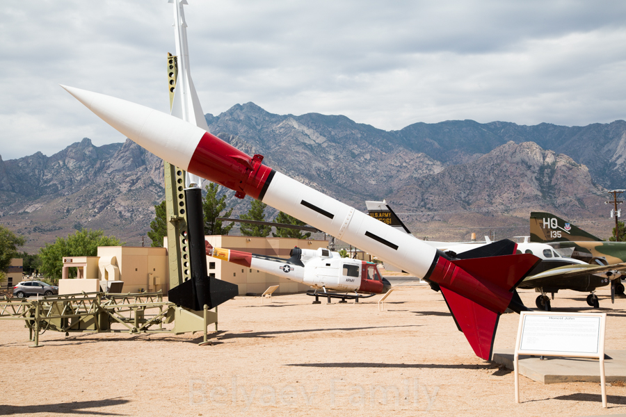
Many rockets have funny names, for example, this is “Honest John”
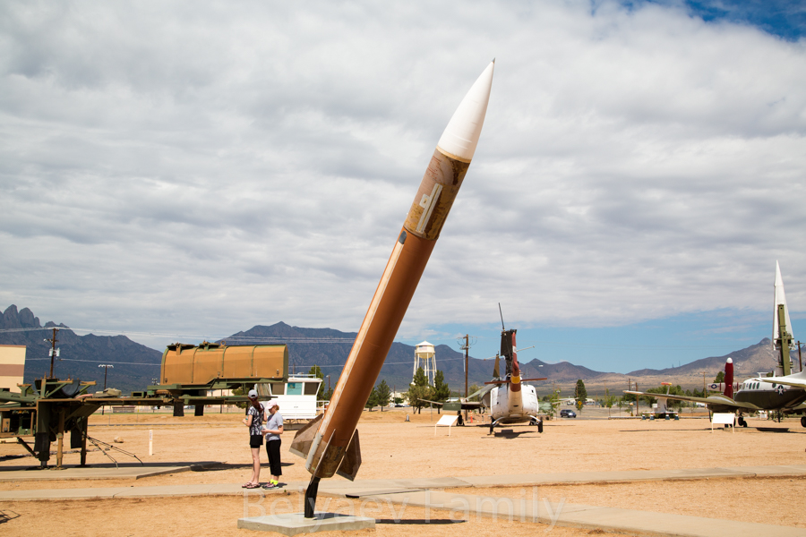
Loki-Dart
Deceleration testing vehicle, launched with the help of a parachute
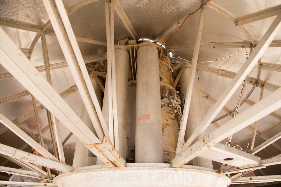
Вirds made a nest inside
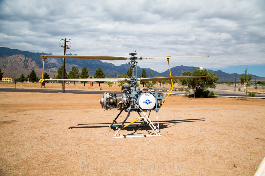
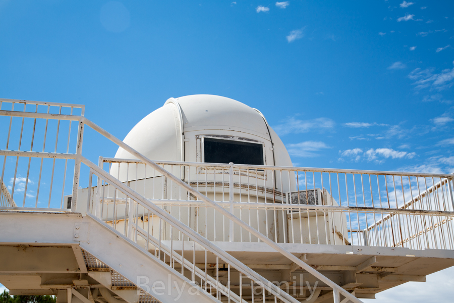
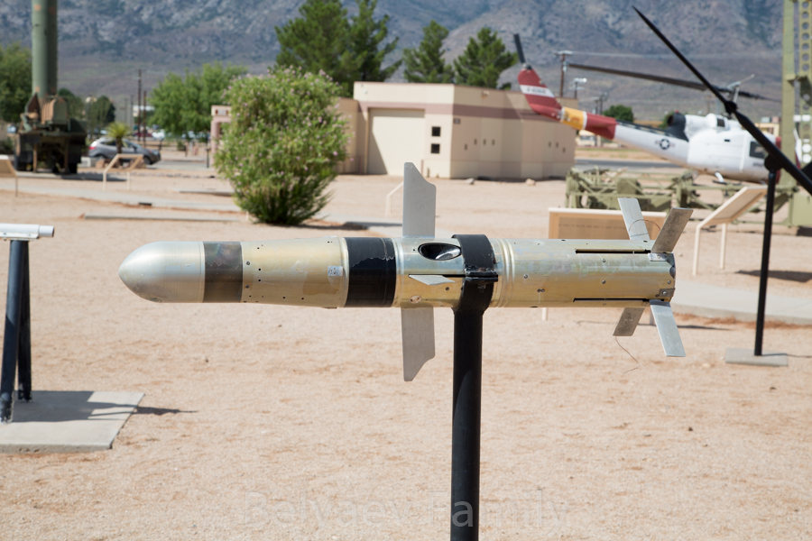
Electro Optical Tracking System, model F
While walking and looking at the missiles, all what we were able to think about was the question – is there a way to see the launch? Not far from the base there are hills, and usually along the road there could be a scenic view stop. So we returned to the car and went there.
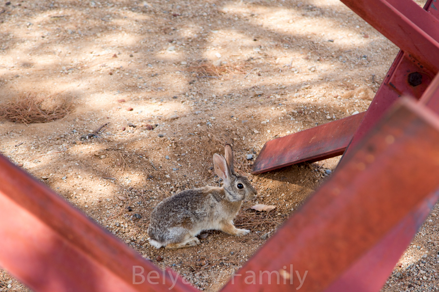
On the way to the car we saw a bunny
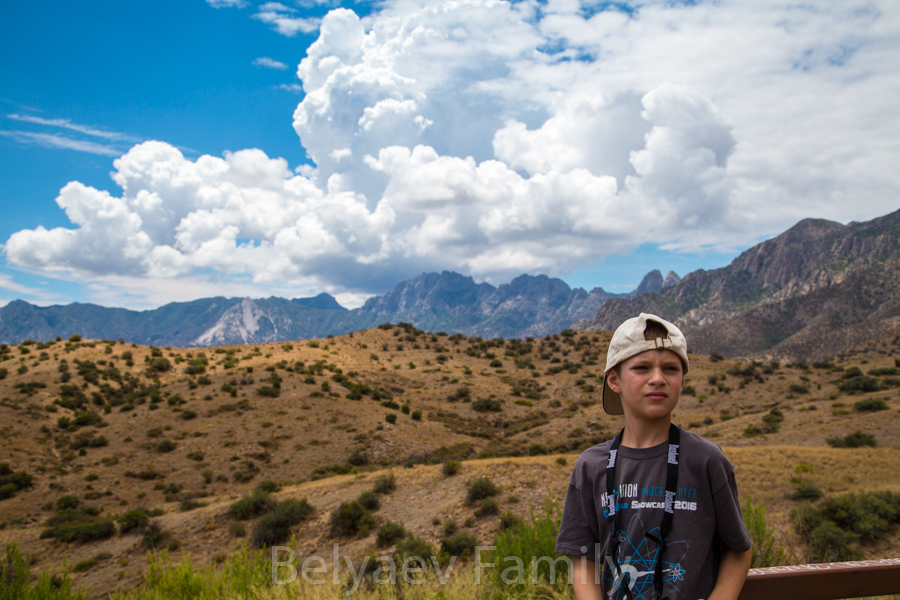
The stop wasn’t on our side of the road, so we had to go to the town on the other side of the ridge and make a u-turn there. On our way back to the scenic view stop we saw a lot of police cars with turned on red and blue lights, but the highway was still open. As soon as we reached the parking lot, the policemen stood on the road and stopped a big semi-truck. The road was blocked. So people from the other cars went outside and waited for the launch with us.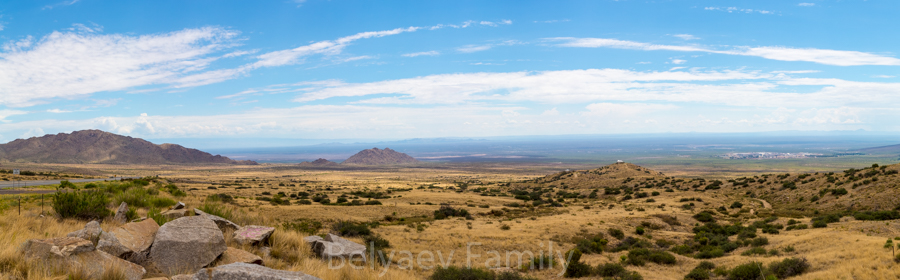
About 40 min later we saw a smoke column and watched how tiny dot -the rocket – was going up and up. And only when it reached clouds and hid there, we started to hear it’s engines. Pretty cool, I didn’t think that launches happened in the different places except Cape Canaveral. Oh, and by the way, when the shuttle program was still active, they landed here, on that missile range base!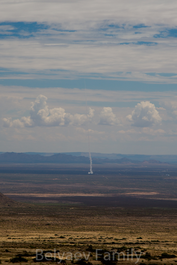
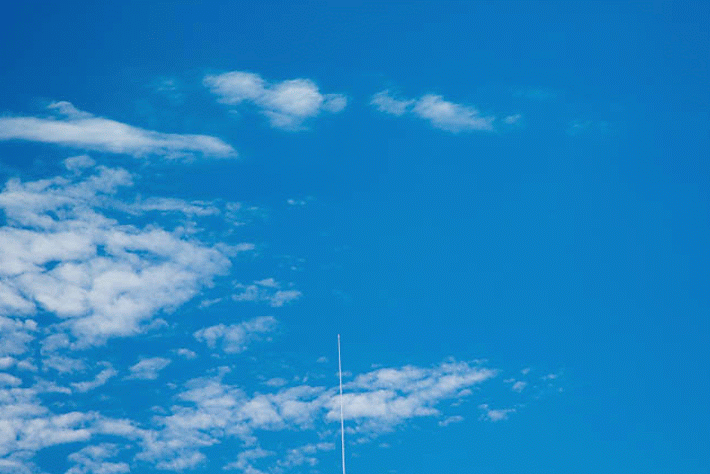
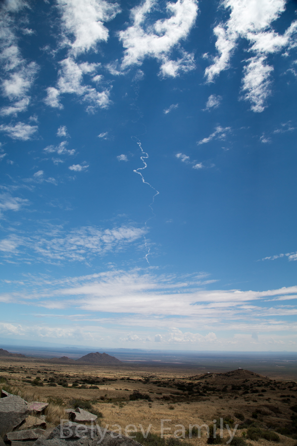
Rocket’s trail
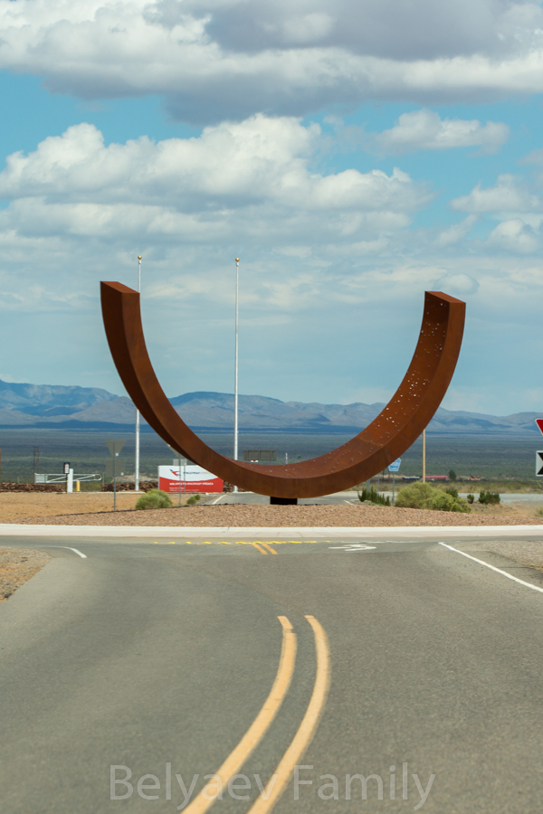
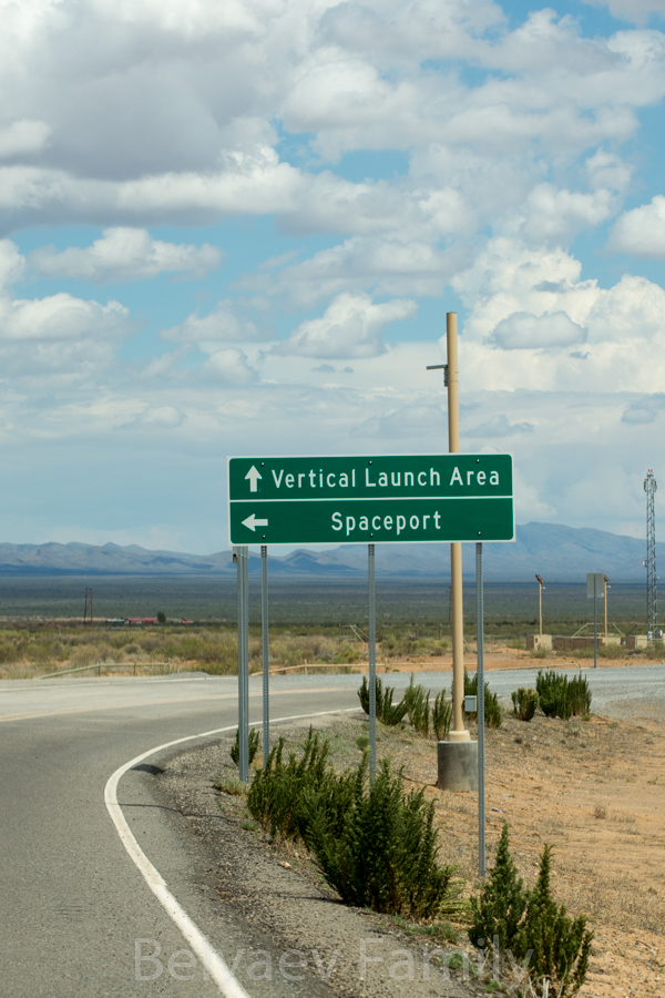
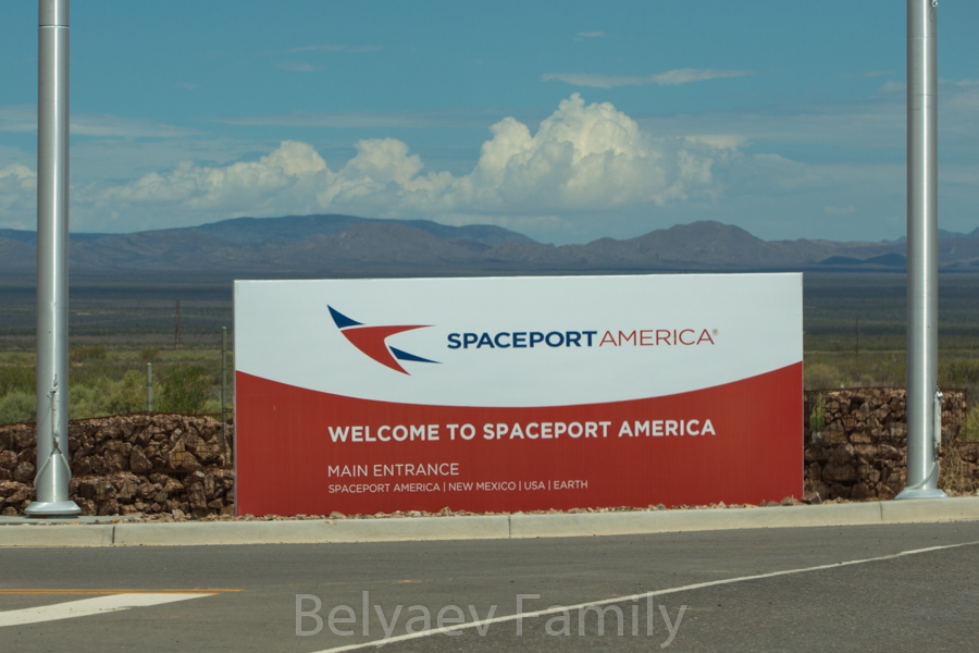
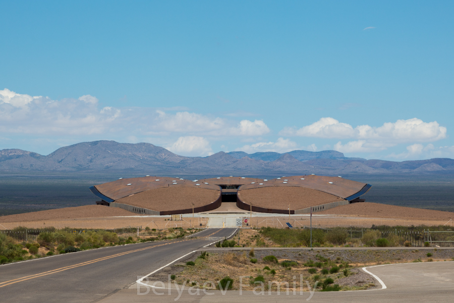
Soon the the road was open and we continued our trip. Quite close to that location there is a spaceport, the only one existing in the world, so we were curious to look at it. Especially when our GPS showed the road that lead there – simple country road without pavement. But when we came to the location, we found out that it is actual spaceport, used by 4 different companies, and Space X is one of them. They send rockets to the space from here too. It is possible to go inside, we just need to book the tour. Pretty interesting, so we saved it in our bucket list and moved on.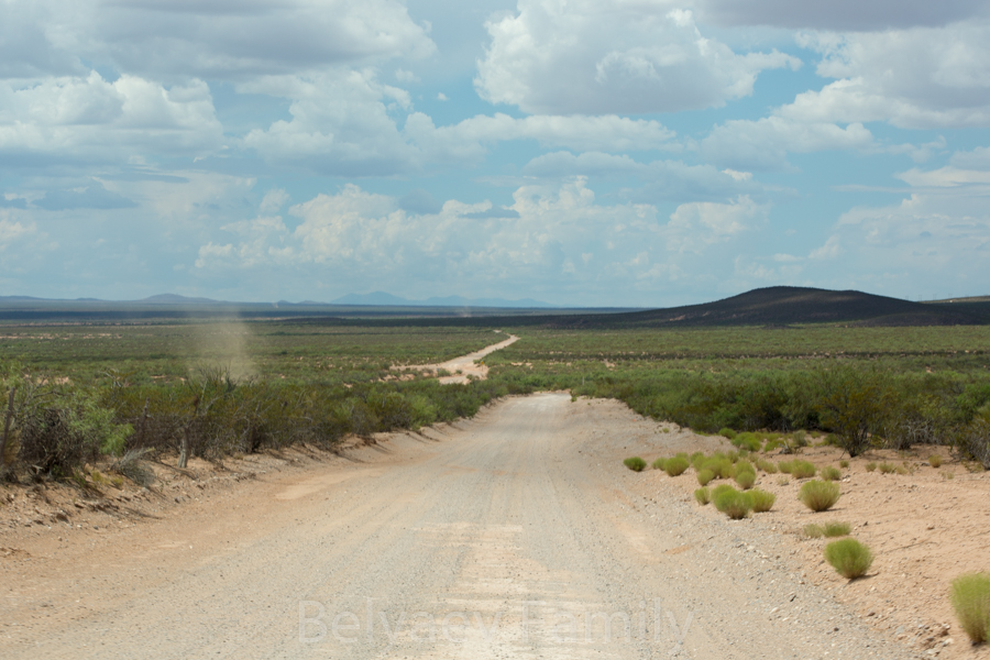
There were still 5 more hours of driving in front of us – we were heading to Las Vegas in New Mexico.
Part 35 here